|
|
|
| FL Maps > Region > 1950-1999 |

|
Lake Iamonia Intensive Study Area,
1998 |

|
River Styx Intensive Study Area,
1998 |
|
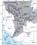
Springs of the Lower Suwannee River Basin,
1999 |
|
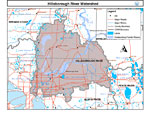
Hillsborough River Watershed,
2000 |
|
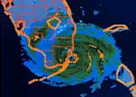
Hurricane Andrew in Dade County,
August 24, 1992 |
|
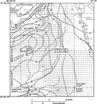
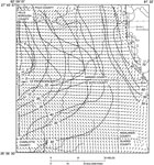
Groundwater Movement in the Intermediate Aquifer System in Hardee and De Soto Counties,
May 1989 |
|
Groundwater Movement in the Upper Floridan Aquifer System in Hardee and De Soto Counties,
May 1989 |

|
Potentiometric Contours and Direction of Groundwater Flow in the Suwannee River Water Management District,
May 1990 |

|
Composite Potentiometric Surface of the Intermediate Aquifer System in Southwest Florida,
May and September 1993 |
|
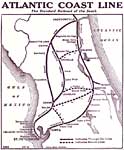
Atlantic Coast Line,
mid 1900s |

|
Hillsborough River Watershed General Location Information- Map 1,
November 10, 1999 |

|
Hillsborough River Watershed Distribution of Conservation Lands- Map 15,
November 10, 1999 |

|
Hillsborough River Watershed Drainage Sub Basins- Map 5,
November 12, 1999 |

|
Hillsborough River Watershed Distribution of Water Management Data Base Monitoring Sites- Map 7,
November 17, 1999 |

|
Hillsborough River Watershed Distribution of Superfund Sites, Landfills and Wastewater Facilities- Map 6,
November 2, 1999 |

|
Hillsborough River Watershed Non-Point Source Loading Potential- Map 8,
November 2, 1999 |
|
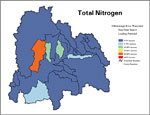
Hillsborough River Watershed Non-Point Source Loading Potential for Nitrogen,
November 2, 1999 |

|
Hillsborough River Watershed Non-Point Source Loading Potential for Phosphorus,
November 2, 1999 |

|
Hillsborough River Watershed Non-Point Source Loading Potential for Suspended Solids,
November 2, 1999 |

|
Hillsborough River Watershed Strategic Habitat Conservation Areas, Areas of Conservation Interest, and Potential Natural Areas- Map 16,
November 3, 1999 |

|
Hillsborough River Watershed Distribution of 1990 Land Use/Cover- Map 2,
October 1, 1999 |

|
Hillsborough River Watershed Distribution of Generalized Future Land Use, Ca. 2010- Map 3,
October 1, 1999 |

|
Hillsborough River Watershed Distribution of 1990 Agricultural Land Use/Cover- Map 4,
October 1, 1999 |

|
Hillsborough River Watershed Ground Water Pollution Potential to the Floridian Aquifer (D.R.A.S.T.I.C.)- Map 9,
October 1, 1999 |

|
Hillsborough River Watershed Recharge to/Discharge from the Floridan Aquifer In Inches Per Year- Map 10,
October 1, 1999 |
| First | Previous | Next | Last |
| FL Maps > Region > 1950-1999 |
Maps ETC
is a part of the
Educational Technology Clearinghouse
Produced by the
Florida Center for Instructional Technology
© 2007
College of Education
,
University of South Florida