|
|
|
| FL Maps > Local > Charlotte |
Click on a thumbnail image to view a full size version of that map.
|
Detail - Preliminary chart of the northeastern part of the Gulf of Mexico,
1861 |
|
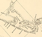
Detail - Preliminary chart of main entrance to Charlotte Harbor,
1863 |
|
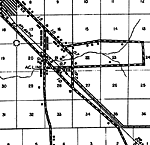
Acline,
1936
Charlotte Harbor,
1936 |
|
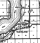
Cleveland,
1936 |
|
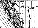
Grove City,
1936 |
|
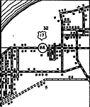
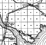
Murdock,
1936 |
|
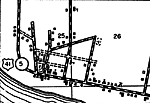
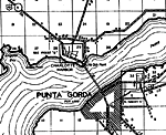
Punta Gorda,
1936
Punta Gorda 2,
1936 |
|
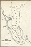
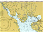
Upper Charlotte Harbor,
1977 |
| FL Maps > Local > Charlotte |
Maps ETC
is a part of the
Educational Technology Clearinghouse
Produced by the
Florida Center for Instructional Technology
© 2007
College of Education
,
University of South Florida