|
|
|
| FL Maps > Local > Okaloosa |
Click on a thumbnail image to view a full size version of that map.
|
Baker Insert,
1936 |
|
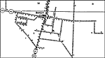
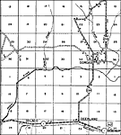
Baker,
1936
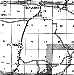
Blackman,
1936 |
|
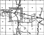
Crestview,
1936 |
|
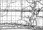
Destin,
1936 |
|
Dorcas,
1936
Escambia Farms,
1936 |
|
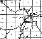
Falco,
1936 |
|
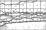
Florosa,
1936 |
|
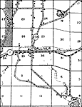
Galliver,
1936 |
|
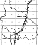
Garden City,
1936
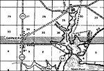
Garnier,
1936 |
|
Garnier 2,
1936 |
|
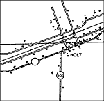
Holt Insert,
1936 |
|
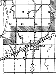
Holt,
1936 |
|
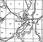
Milligan,
1936 |
|
Oak Grove,
1936 |
|
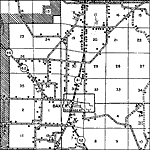
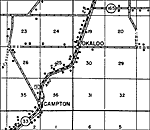
Okaloo,
1936 |
|
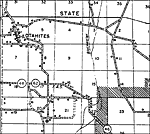
Otahites,
1936 |
|
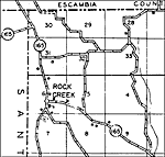
Rock Creek,
1936 |
|
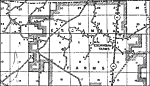
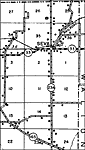
Seva,
1936
Valpariso,
1936 |
|
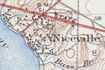
Niceville,
1936 |
|
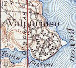
Valparaiso,
1936 |
|
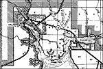
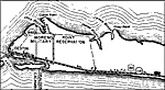
Fort Walton,
1938 |
| Next | Last |
| FL Maps > Local > Okaloosa |
Maps ETC
is a part of the
Educational Technology Clearinghouse
Produced by the
Florida Center for Instructional Technology
© 2007
College of Education
,
University of South Florida