|
|
|
| FL Maps > Local > Monroe |
Click on a thumbnail image to view a full size version of that map.
|
Ramrod Key,
1975 |
|
Sugarloaf Key and Cudjoe Key,
1975 |
|
Long Key,
1975 |
|
Grassy Key and Duck Key,
1975 |
|
Matecumbe Keys,
1975 |
|
Elliott Key to Tarpon Basin,
1976 |
|
Key West Harbor,
1977 |
|
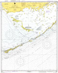
Grassy Key to Bahia Honda Key,
1977 |
|
East Cape to Mormon Key,
1977 |
|
Lostmans River,
1977 |
|
Bahia Honda Key,
1977 |
|
Vaca Key,
1977 |
|
Fat Deer Key,
1977 |
|
Florida Keys, Alligator Reef to Sombrero Key,
1978 |
|
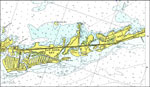
Lower Florida Keys,
1978 |
|
Big Spanish Channel to Johnston Key,
1979 |
|
Key West,
1989 |
|
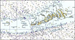
Key West to Big Pine Key,
1989 |
|
Blackwater Sound to Matecumbe,
1992 |
|
Key Largo,
1992 |
|
Upper Matecumbe Key,
1992 |
|
Plantation Key,
1992 |
|
Dry Tortugas National Park,
1994 |
|
Detail of Fort Jefferson, Dry Tortugas National Park,
1994 |
|
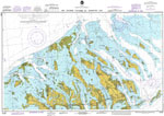
Detail - Everglades National Park,
1994 |
| First | Previous | Next | Last |
| FL Maps > Local > Monroe |
Maps ETC
is a part of the
Educational Technology Clearinghouse
Produced by the
Florida Center for Instructional Technology
© 2007
College of Education
,
University of South Florida