|
|
|
| FL Maps > County > Bay |
Click on a thumbnail image to view a full size version of that map.
Bay County is Florida's 49th county, established on April 24, 1913, from a segment of Washington County. It gains its name from Saint Andrews Bay, a body of water bordering the county. Panama City is the county seat. Panama was a shipbuilding and industrial center during World War II that was named after Panama City.
For earlier maps of this area, visit the Washington County map gallery.
|
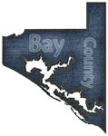
Bay County "Fun" Maps in 30 Styles,
2008 |
|
Bay County Cities with Labels,
2009 |
|
Bay County Cities Outline,
2009 |
|
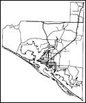
Bay County Road Network- Black and White,
2009 |
|
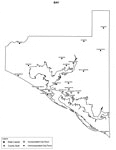
Bay County Railway Network- Black and White,
2009 |
|
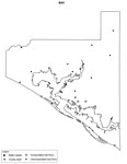
Bay County Railway Network- Color,
2009 |
|
Bay County Road Network- Color,
2009 |
| First | Previous |
| FL Maps > County > Bay |
Maps ETC
is a part of the
Educational Technology Clearinghouse
Produced by the
Florida Center for Instructional Technology
© 2007
College of Education
,
University of South Florida