|
|
|
| FL Maps > State > 2000- |
|
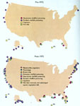
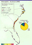
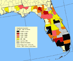
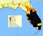
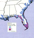
Harmful Algal Blooms,
1972 |
|
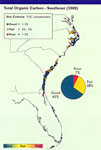
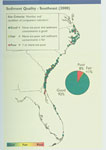
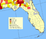
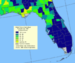
Water Quality Index for Southeast,
2000 |
|
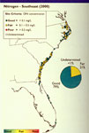
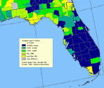
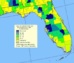
Nitrogen in Southeast,
2000 |
|
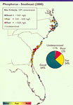
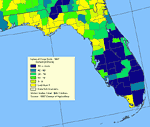
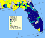
Phosphorus in Southeast,
2000 |
|
Chlorophyll a in Southeast,
2000 |
|
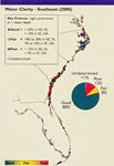
Water Clarity in Southeast,
2000 |
|
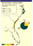
Dissolved Oxygen in Southeast,
2000 |
|
Sediment Quality in Southeast,
2000 |
|
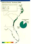
Sediment Toxicity in Southeast,
2000 |
|
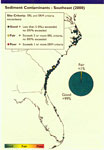
Sediment Contaminants in Southeast,
2000 |
|
Cattle and Calves Inventory,
2000 |
|
Total Cropland,
2000 |
|
Vegetables Harvested for Sale,
2000 |
|
Broiler and other Meat-Type Chickens Sold,
2000 |
|
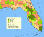
Number of Farms,
2000 |
|
Hogs and Pigs Inventory,
2000 |
|
Irrigated Land in Farms,
2000 |
|
Land in Orchards,
2000 |
|
Acres of Pecans,
2000 |
|
Value of Crops Sold,
2000 |
|
Market Value of Agricultural Products Sold,
2000 |
|
Value of Livestock, Poultry and Their Products Sold,
2000 |
|
Value of Nursery Crops Grown for Sale,
2000 |
|
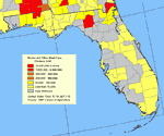
Coastal and Estuarine Fish Consumption Advisories,
2002 |
|
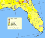
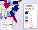
Marine Beach Closures or Advisories,
2002 |
| Next | Last |
| FL Maps > State > 2000- |
Maps ETC
is a part of the
Educational Technology Clearinghouse
Produced by the
Florida Center for Instructional Technology
© 2007
College of Education
,
University of South Florida