|
|
|
| FL Maps > Local > Polk |
Click on a thumbnail image to view a full size version of that map.
|
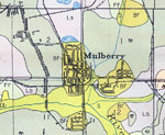
Mulberry, Florida,
1927 |
|
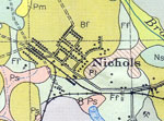
Nichols, Florida,
1927 |
|
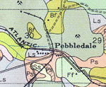
Pebbledale, Florida,
1927 |
|
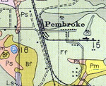
Pembroke, Florida,
1927 |
|
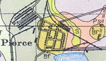
Pierce, Florida,
1927 |
|
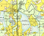
Polk City, Florida,
1927 |
|
Poyner, Florida,
1927 |
|
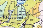
Ridgewood, Florida,
1927 |
|
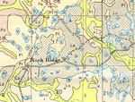
Rock Ridge, Florida,
1927 |
|
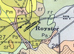
Royster, Florida,
1927 |
|
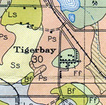
Tigerbay, Florida,
1927 |
|
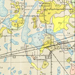
Winston, Florida,
1927 |
|
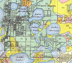
Winter Haven, Florida,
1927 |
|
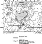
Topography of Lake Starr Basin,
2000 |
|
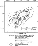
Structural Contours of Limestone Surface below Lake Starr,
2000 |
|
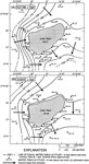
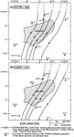
Water Table Altitude and Groundwater Flow Direction for Lake Starr,
March 1998 and May 1997 |
|
Potentiometric Surface of the Upper Floridan Aquifer in the Lake Starr Basin,
March 1998 and May 1997 |
| First | Previous |
| FL Maps > Local > Polk |
Maps ETC
is a part of the
Educational Technology Clearinghouse
Produced by the
Florida Center for Instructional Technology
© 2007
College of Education
,
University of South Florida