|
|
|
| FL Maps > Local > Franklin |
Click on a thumbnail image to view a full size version of that map.
|
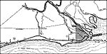
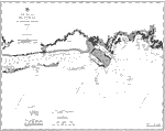
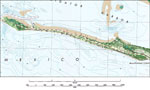
Coast Chart No. 82: Apalachee Bay and St. Georges Sound,
1883 |
|
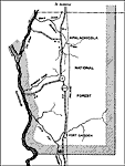
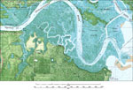
Apalachicola National Forest,
1936
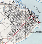
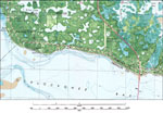
Apalachicola,
1936 |
|
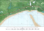
Beverly,
1936 |
|
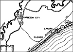
East Point 2,
1936 |
|
Apalachicola,
1943 |
|
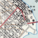
Apalachicola Riverfront,
1943 |
|
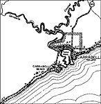
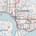
Carrabelle,
1944 |
|
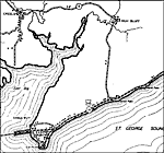
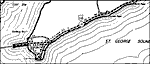
St. Teresa,
1945 |
|
Goose Island,
1981 |
|
St. Teresa,
1981 |
|
Carrabelle,
1981 |
|
Beverly,
1981 |
|
Alligator Point,
1981 |
|
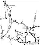
Mouth of the Ochlockonee River,
1981 |
|
Simmons Point,
1981 |
|
Saint Teresa,
1981 |
|
Green Point,
1982 |
|
McIntyre,
1982 |
|
Cape St. George,
1982 |
|
West Pass,
1982 |
|
Dog Island,
1982 |
| Next | Last |
| FL Maps > Local > Franklin |
Maps ETC
is a part of the
Educational Technology Clearinghouse
Produced by the
Florida Center for Instructional Technology
© 2007
College of Education
,
University of South Florida