| Home > Maps > Okaloosa City and Local > Mary Esther, 1938 | |
|
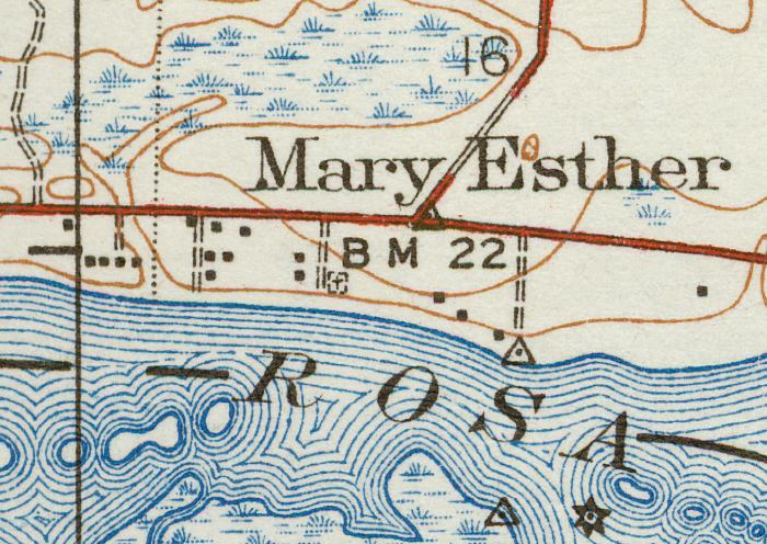
1938,
Mary Esther, Florida. Detail view from a United States Geological Survey map.
Key to USGS maps.
|
| Map Credit: Courtesy of the Pennsylvania State University Libraries Map Library.
|
| Home > Maps > Okaloosa City and Local > Mary Esther, 1938 |
Exploring Florida: A Social Studies Resource for Students and Teachers
Produced by the Florida Center for Instructional Technology,
College of Education, University of South Florida © 2003.