|
|
|
| FL Maps > Region > 1780-1799 |
|
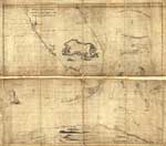
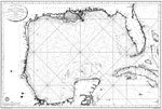
Florida and its vicinity,
1781 |
|
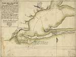
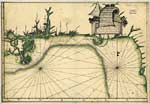
Plano de la bahia de Pansacola,
1782 |
|
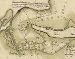
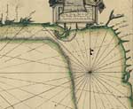
Detail - Plano de la bahia de Pansacola,
1782 |
|
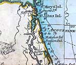
Plano de la ciudad y puerto de San Agustin de la Florida,
1783 |
|
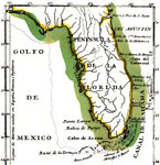
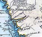
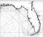
Peninsula de la Florida,
1783 |
|
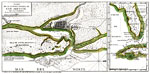
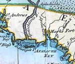
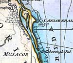
Descripsion de la costa de la Luciana ...,
1784 |
|
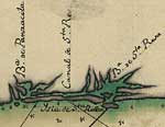
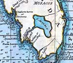
Detail - Descripsion de la costa de la Luciana ...,
1784 |
|
Detail - Descripsion de la costa de la Luciana ...,
1784 |
|
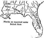
Florida Under British Rule,
1789 |
|
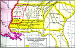
Georgia Claims and Spanish Boundary,
1789 to 1802 |
|
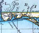
Detail - A general chart of the West Indies,
1796 |
|
Detail - A general chart of the West Indies,
1796 |
|
Detail - A general chart of the West Indies,
1796 |
|
Detail - A general chart of the West Indies,
1796 |
|
Detail - A general chart of the West Indies,
1796 |
|
Detail - A general chart of the West Indies,
1796 |
|
Carte des cotes du Golfe du Mexique : compris entre la pointe Sud de la presqu'lle de la Floride et la pointe Nord de la presqu'lle d'Yucatan : dresse d'apres les observations et les plans des Espagnols,
1799 |
|
Carte des cotes du Golfe du Mexique : compris entre la pointe Sud de la presqu'lle de la Floride et la pointe Nord de la presqu'lle d'Yucatan : dresse d'apres les observations et les plans des Espagnols,
1799 |
| FL Maps > Region > 1780-1799 |
Maps ETC
is a part of the
Educational Technology Clearinghouse
Produced by the
Florida Center for Instructional Technology
© 2007
College of Education
,
University of South Florida