|
|
|
| FL Maps > Local > Walton |
Click on a thumbnail image to view a full size version of that map.
|
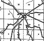
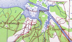
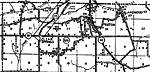
Point Washington and Choctaw,
1936 |
|
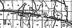
Alpine,
1936 |
|
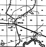
Bruce,
1936 |
|
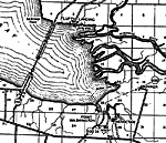
Choctaw,
1936
Coula,
1936 |
|
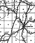
Darlington,
1936
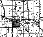
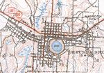
De Funiak Springs,
1936 |
|
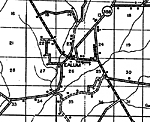
Ealum,
1936 |
|
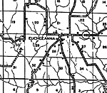
Eucheeanna,
1936 |
|
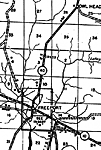
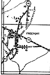
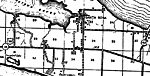
Freeport,
1936 |
|
Freeport Insert,
1936
Gaskin,
1936 |
|
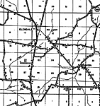
Glendale,
1936
Gordon,
1936 |
|
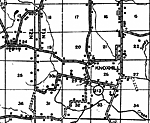
Knoxhill,
1936 |
|
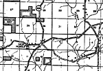
New Home,
1936 |
|
Paxton,
1936 |
|
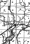
Portland,
1936 |
|
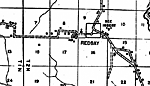
Red Bay,
1936 |
|
Santa Rosa,
1936 |
|
De Funiak Springs,
1938 |
|
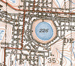
De Funiak Springs Town Center,
1938 |
| FL Maps > Local > Walton |
Maps ETC
is a part of the
Educational Technology Clearinghouse
Produced by the
Florida Center for Instructional Technology
© 2007
College of Education
,
University of South Florida