|
|
|
| FL Maps > Local > Wakulla |
Click on a thumbnail image to view a full size version of that map.
|
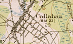
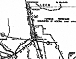
Callahan,
1919 |
|
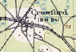
Crawford,
1919 |
|
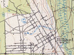
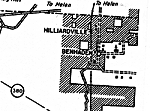
Hilliard,
1919 |
|
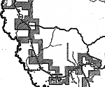
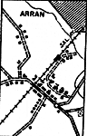
Arran,
1936 |
|
Benhaden,
1936 |
|
Bethel,
1936 |
|
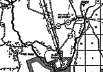
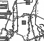
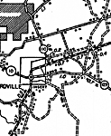
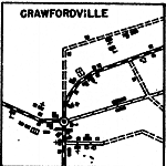
Crawfordville,
1936 |
|
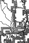
Crawfordville 2,
1936 |
|
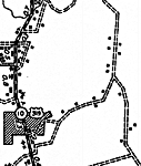
Crawfordville Insert,
1936 |
|
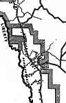
Medart,
1936 |
|
Medart 2,
1936
Newport,
1936 |
|
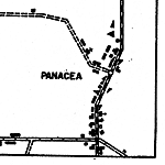
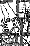
Panacea Insert,
1936 |
|
Panacea 2,
1936
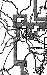
Sanborn,
1936 |
|
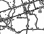
Shadeville,
1936
Smith Creek,
1936 |
|
Sopchoppy,
1936 |
|
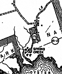
Spring Creek,
1936 |
|
Wakulla,
1936
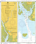
St. Marks River and Approaches,
1979 |
| FL Maps > Local > Wakulla |
Maps ETC
is a part of the
Educational Technology Clearinghouse
Produced by the
Florida Center for Instructional Technology
© 2007
College of Education
,
University of South Florida