|
|
|
| FL Maps > Local > St. Lucie |
Click on a thumbnail image to view a full size version of that map.
|
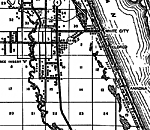
Eldred,
1936
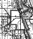
Fort Pierce,
1936 |
|
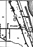
St. Lucie (town),
1936 |
|
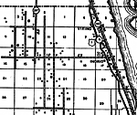
Viking,
1936 |
|
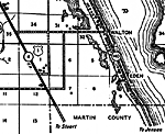
Walton,
1936 |
|
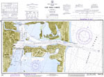
Fort Pierce Harbor,
1973 |
|
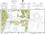
Fort Pierce Harbor,
1974 |
| FL Maps > Local > St. Lucie |
Maps ETC
is a part of the
Educational Technology Clearinghouse
Produced by the
Florida Center for Instructional Technology
© 2007
College of Education
,
University of South Florida