|
|
|
| FL Maps > Local > Monroe |
Click on a thumbnail image to view a full size version of that map.
|
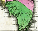
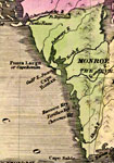
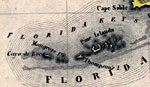
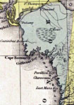
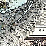
Detail - Geographical, statistical, and historical map of Florida,
1827 |
|
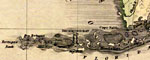
Detail - Geographical, statistical, and historical map of Florida,
1827 |
|
Detail - Geographical, statistical, and historical map of Florida,
1827 |
|
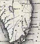
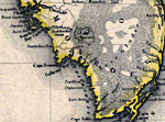
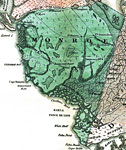
Monroe County- Mainland,
1830 |
|
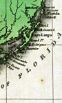
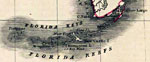
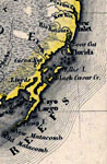
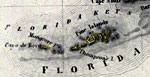
Monroe County- Florida Keys,
1830 |
|
Monroe County- Mainland,
1832 |
|
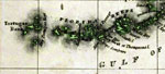
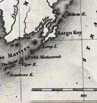
Monroe County- Upper Keys,
1832 |
|
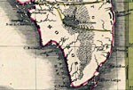
Monroe County- Lower Keys,
1832 |
|
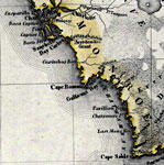
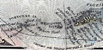
Detail - Map of the State of Florida,
1842 |
|
Detail - Map of the State of Florida,
1842 |
|
Monroe County - Mainland,
1845 |
|
Monroe County - Upper Keys,
1845 |
|
Monroe County - Lower Keys,
1845 |
|
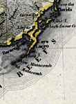
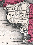
Monroe County- Mainland,
1850 |
|
Monroe County- Upper Keys,
1850 |
|
Monroe County- Lower Keys,
1850 |
|
Monroe County - Mainland,
1850 |

|
Monroe County - Keys,
1850 |
|
Monroe County - Mainland,
1856 |

|
Monroe County - Keys,
1856 |

|
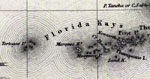
Plan of the Florida Keys,
1860 |
|
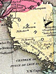
Monroe Mainland,
1860 |
|
Monroe County - Mainland,
1860 |
|
Monroe County - Upper Keys,
1860 |
|
Monroe County - Lower Keys,
1860 |
| Next | Last |
| FL Maps > Local > Monroe |
Maps ETC
is a part of the
Educational Technology Clearinghouse
Produced by the
Florida Center for Instructional Technology
© 2007
College of Education
,
University of South Florida