|
|
|
| FL Maps > Local > Escambia |
Click on a thumbnail image to view a full size version of that map.
|
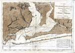
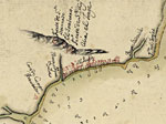
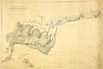
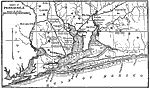
A Chart of the Bay and Harbour of Pensacola,
1780 |
|
Detail - Plano de la bahia de Pansacola,
1782 |
|
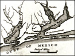
Detail - Florida,
1834 |
|
Detail - Map of Florida,
1850 |
|
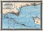
A correct map of Pensacola Bay,
1860 |
|
Detail - A correct map of Pensacola Bay,
1860 |
|
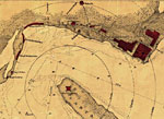
Detail - Sketch of Pensacola Navy Yard and Fort Dickens,
1860s |
|
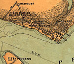
Map of Warrington,
1860s |
|
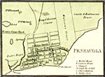
Map of Pensacola,
1861 |
|
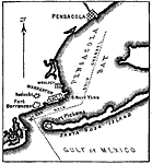
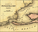
Detail - Entrance to Pensacola Bay,
1862 |
|
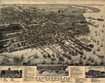
Pensacola Florida,
1885 |
|
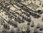
Detail - Pensacola Florida,
1885 |
|
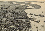
Detail - Pensacola Florida,
1885 |
|
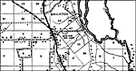
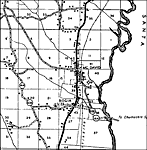
Escambia Bay,
1890 |
|
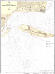
Pensacola Bay Entrance, No. 413,
1925 |
|
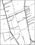
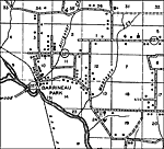
Barrineau Park,
1936 |
|
Barth,
1936 |
|
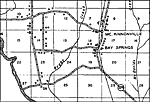
Bay Springs,
1936 |
|
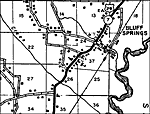
Bluff Springs,
1936 |
|
Bogia,
1936 |
|
Bratt,
1936 |
|
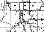
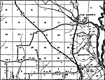
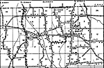
Century,
1936 |
| Next | Last |
| FL Maps > Local > Escambia |
Maps ETC
is a part of the
Educational Technology Clearinghouse
Produced by the
Florida Center for Instructional Technology
© 2007
College of Education
,
University of South Florida