|
|
|
| FL Maps > County > Suwannee |
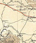
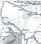
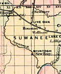
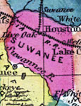
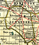
Click on a thumbnail image to view a full size version of that map.
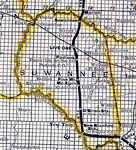
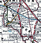
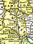
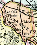
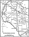
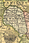
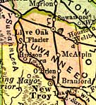
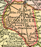
Suwannee County is Florida's 35th county, established on December 21, 1858, from a segment of Columbia County. It gains its name from the Suwannee River and was immortalized in the song "Old Folks at Home" by Stephen Foster. Live Oak is the county seat.
For earlier maps of this area, visit the Columbia County map gallery.
|
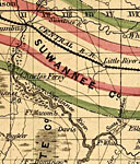
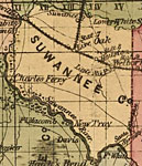
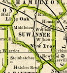
Suwannee County,
1859 |
|
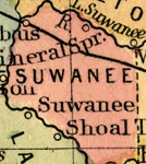
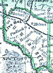
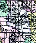
Suwannee County,
1860 |
|
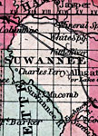
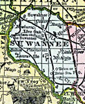
Suwannee,
1860 |
|
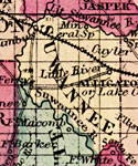
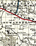
Suwannee County,
1863 |
|
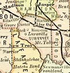
Suwannee County,
1864 |
|
Suwannee County,
1865 |
|
Suwannee County,
1871 |
|
Suwannee County,
1873 |
|
Suwannee County,
1874 |
|
Suwannee County,
1880 |
|
Suwannee County,
1882 |
|
Suwannee,
1883 |
|
Suwannee County,
1886 |
|
Suwannee County,
1886 |
|
Suwannee County,
1888 |
|
Suwannee County,
1888 |
|
Suwannee County,
1888 |
|
Suwannee County,
1889 |
|
Suwannee County,
1890 |
|
Suwannee County,
1890 |
|
Suwannee County,
1890 |
|
Suwannee County,
1892 |
|
Suwannee County,
1894 |
|
Suwanee County,
1895 |
|
Suwannee County,
1897 |
| Next | Last |
| FL Maps > County > Suwannee |
Maps ETC
is a part of the
Educational Technology Clearinghouse
Produced by the
Florida Center for Instructional Technology
© 2007
College of Education
,
University of South Florida