|
|
|
| FL Maps > County > Levy |
Click on a thumbnail image to view a full size version of that map.
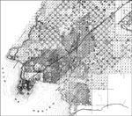
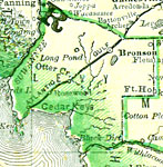
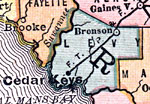
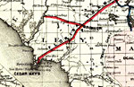
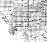
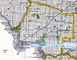
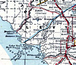
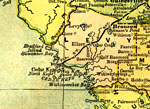
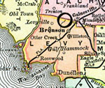
Levy County is Florida's 26th county, established on March 10, 1845, from a segment of Alachua County. It gains its name from David Levy Yulee, who served as the first U.S. Senator for Florida. Bronson is the county seat.
For earlier maps of this area, visit the Alachua County map gallery.
|
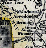
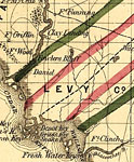
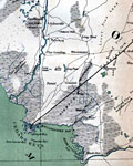
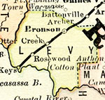
Levy County,
1850 |
|
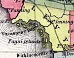
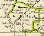
Levy County,
1850 |
|
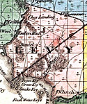
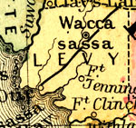
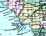
Levy County,
1856 |
|
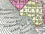
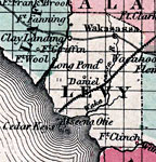
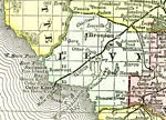
Levy County,
1857 |
|
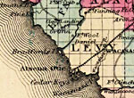
Levy County,
1859 |
|
Levy County,
1860 |
|
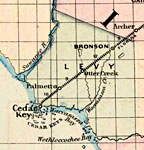
Levy,
1860 |
|
Levy County,
1863 |
|
Levy County,
1865 |
|
Levy County,
1871 |
|
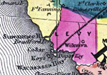
Levy County,
1873 |
|
Levy County,
1874 |
|
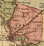
Levy County,
1876 |
|
Levy County,
1880 |
|
Levy County,
1880 |
|
Levy County,
1882 |
|
Levy County,
1883 |
|
Levy County,
1886 |
|
Levy County,
1886 |
|
Levy County,
1888 |
|
Levy County,
1888 |
|
Levy County,
1888 |
|
Levy County,
1889 |
|
Levy County,
1890 |
|
Levy County,
1890 |
| Next | Last |
| FL Maps > County > Levy |
Maps ETC
is a part of the
Educational Technology Clearinghouse
Produced by the
Florida Center for Instructional Technology
© 2007
College of Education
,
University of South Florida