|
|
|
| FL Maps > County > Charlotte |
Click on a thumbnail image to view a full size version of that map.
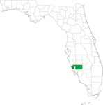
Charlotte County is Florida's 57th county, established on April 23, 1921, from a segment of DeSoto County. It gains its name from Charlotte Harbor. The name Charlotte may be derived from a corruption of the word Calusa, an Indian tribe found in that area. Punta Gorda, whose name means wide or fat point in Spanish, is the county seat. This refers to an arm of land that juts into Charlotte Bay.
For earlier maps of this area, visit the DeSoto County map gallery.
|
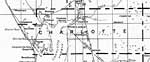
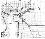
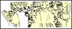
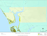
Charlotte County,
1932 |
|
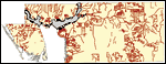
Charlotte,
1936 |
|
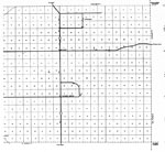
East Charlotte,
1936 |
|
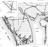
West Charlotte,
1936 |
|
Mid Charlotte,
1936 |
|
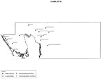
Sinkholes of Charlotte County, Florida ,
1948 to 2007 |
|
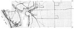
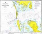
Main Entrance to Charlotte Harbor,
1961 |
|
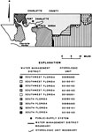
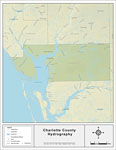
Water Management Districts and Hydrologic Units for Charlotte County,
1981 |
|
Florida Waterways: Charlotte County Outline,
2008 |
|
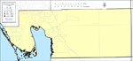
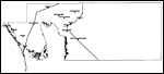
Locater Map of Charlotte County,
2008 |

|
Clipart Collection: Charlotte County Maps in 50 Colors,
2008 |

|
Plain Frames Collection: Charlotte County Maps in 30 Colors,
2008 |

|
Fancy Frames Collection: Charlotte County Maps in 30 styles,
2008 |

|
Florida Photo Collection: Charlotte County Maps in 30 styles,
2008 |
|
Florida Waterways: Charlotte County ,
2008 |
|
Florida Waterways: Charlotte County Outline without Labels,
2008 |

|
Charlotte "Abstract" Style Maps in 30 Styles,
2008 |

|
Charlotte County "Fun" Maps in 30 Styles,
2008 |
|
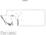
Florida Seagrass: Charlotte,
2008 |
|
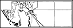
Charlotte County Cities with Labels,
2009 |
|
Charlotte County Cities Outline,
2009 |
|
Charlotte County Road Network- Black and White,
2009 |
|
Charlotte County Railway Network- Black and White,
2009 |
|
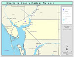
Charlotte County Railway Network- Color,
2009 |
|
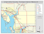
Charlotte County Road Network- Color,
2009 |
| Next | Last |
| FL Maps > County > Charlotte |
Maps ETC
is a part of the
Educational Technology Clearinghouse
Produced by the
Florida Center for Instructional Technology
© 2007
College of Education
,
University of South Florida